
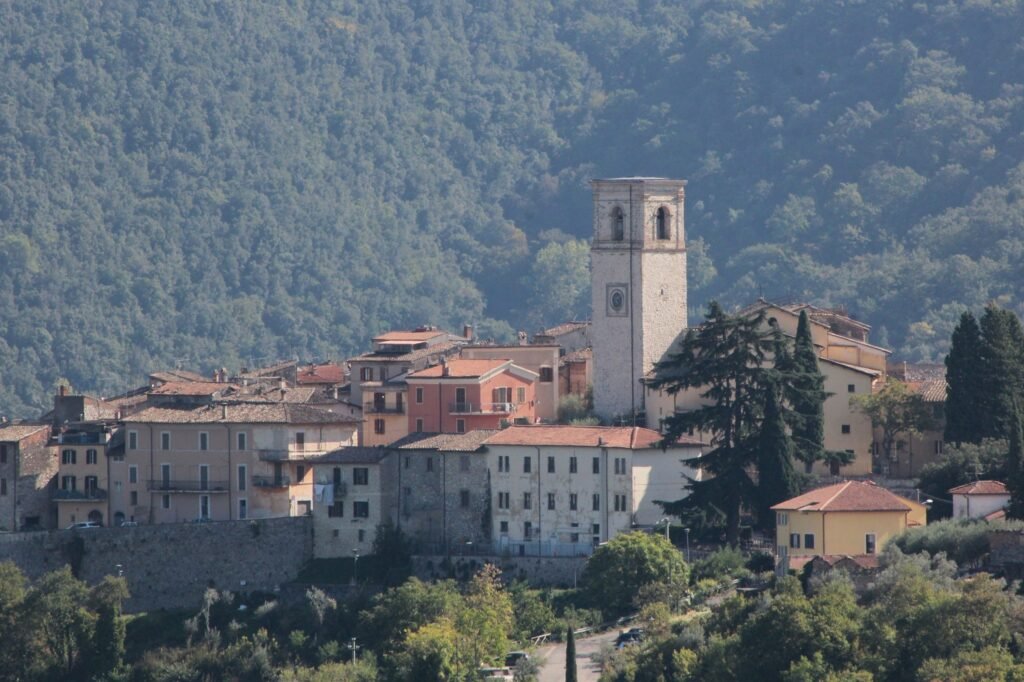
Palazzetto ManasseiSouthern Umbria, from the village above the waterfall
Marmore Falls, Lake Piediluco and the Valnerina, explored from the stone village directly above the falls.
Photo: LigaDue, Wikimedia Commons, CC BY-SA 4.0
Marmore Falls, Lake Piediluco and the Valnerina valley – the honest, first-hand guide, written by the family who live in Collestatte, the stone hamlet directly above the falls. Facts checked monthly; the water timetable, always current.
Marmore Falls, explained once — properly
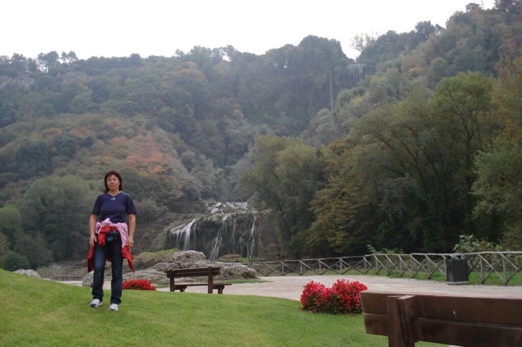
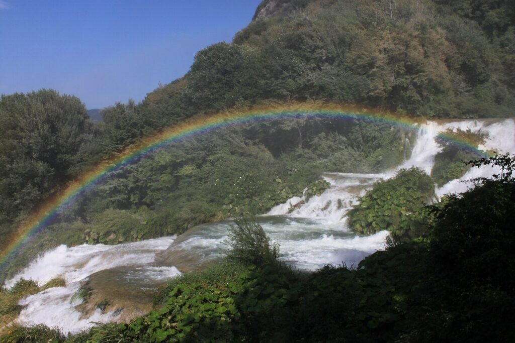
The Cascata delle Marmore is not a natural accident. In 271 BC the Roman consul Manius Curius Dentatus cut a channel to send the marsh-bound River Velino over the cliff edge into the River Nera below — and the result, at 165 metres over three great drops, is still described as the tallest man-made waterfall in Europe.
Because that same water now feeds the Galleto hydroelectric plant, the falls do not run at full flow all day. For most of the day the cliff shows a modest ribbon; then, at set release times, the sluices open and the full torrent comes down — an acoustic signal sounds a minute or two before, and the change takes seconds. A quiet hour and a full-flow hour are two different waterfalls, so it is worth planning your visit around a release.
The schedule changes by season and by day of the week, and on some summer weekends there is a floodlit evening release. There is no single fixed timetable, so always check the current schedule before you travel — the falls’ own site publishes the month ahead and keeps it updated.
→ Check the official Marmore Falls timetable (cascatadellemarmore.info) before you set out. Our own water-release guide explains how to read it.
Start with the big three
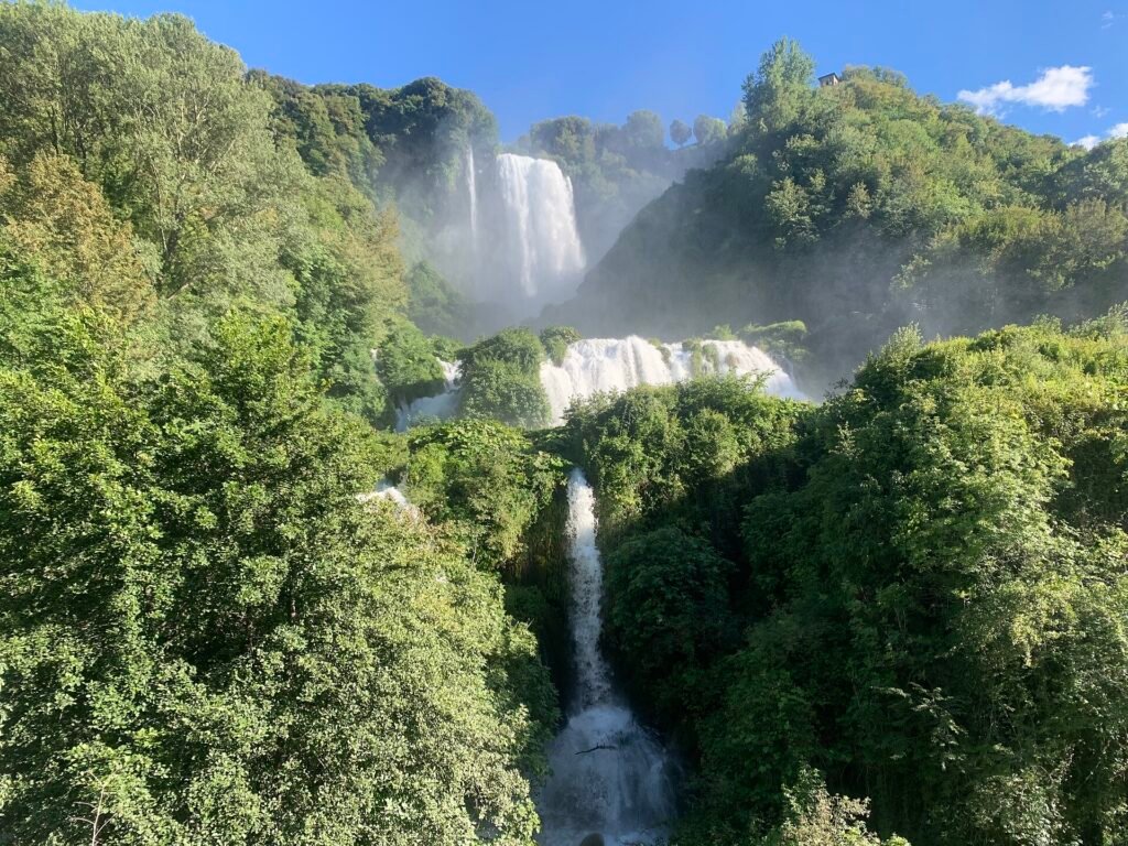 Marmore FallsThe 165-metre waterfall the Romans built in 271 BC. Tickets, trails, the two-entrance trap, and the timetable nobody else translates.Photo: CAPTAIN RAJU, Wikimedia Commons (CC BY-SA 4.0)
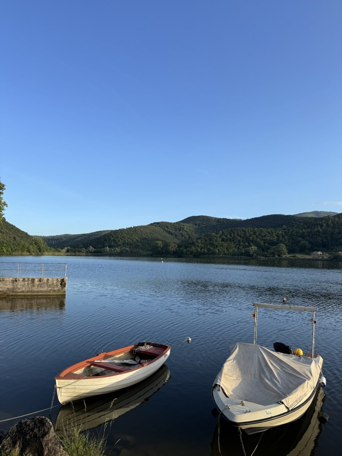 Lake PiedilucoThe lake ten minutes above the falls that day-trippers never see: swimming beaches, boat tours, and Italy’s national rowing water.
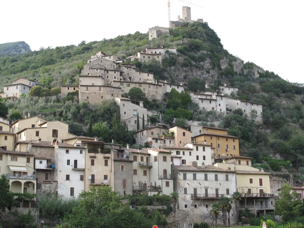 The ValnerinaOur valley: nine honest villages, a crypt of natural mummies, truffle hunts with real dogs, and a riverside cycle route with the GPX to prove it.Photo: Lillolollo, Wikimedia Commons (Public domain)
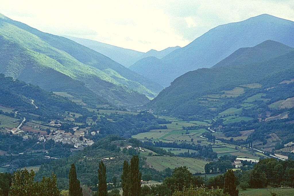
One village, everything within reach
Collestatte sits above the falls at the mouth of the Valnerina. The lake, the valley villages and three of Umbria’s best small cities are all an easy drive, and Rome works as a day trip in reverse.
- Marmore Falls10-min walk
- Lake Piediluco15 min
- Ferentillo15 min
- Terni station18 min
- Narni30 min
- Spoleto35–40 min
- Assisi1 hr 15
- Rome90 min
Approximate drive times from our guides, most measured from the falls area. All day trips, ranked · The Valnerina villages
A different valley every season
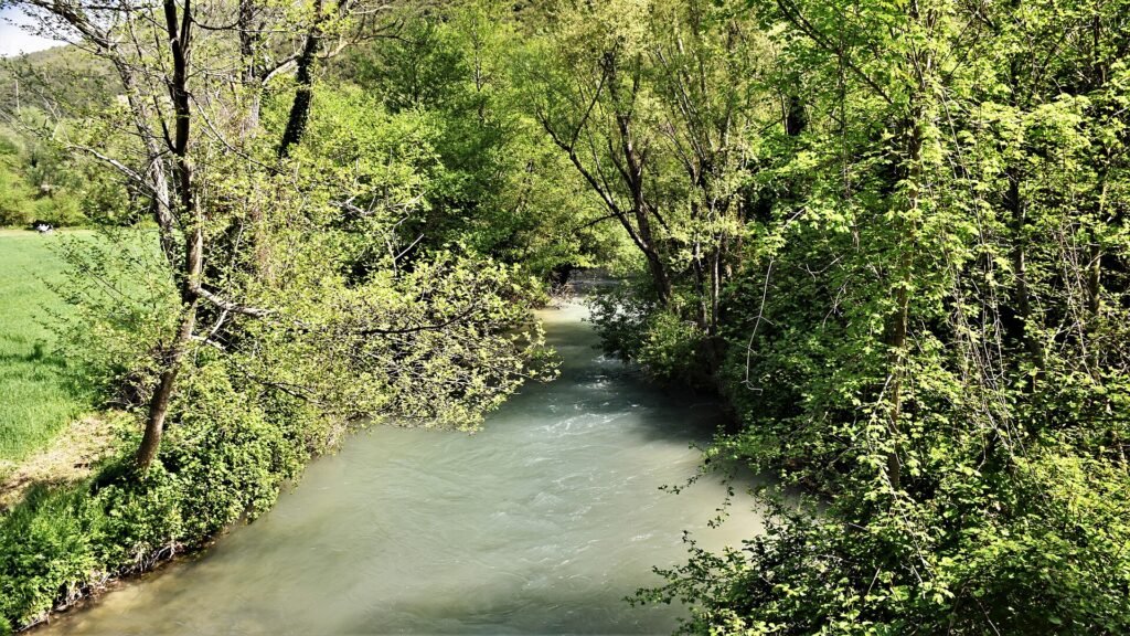 SpringLonger weekend releases, the international regatta on Lake Piediluco and the river greenway in leaf.Photo: Ulissevietato.9449, CC BY-SA 4.0
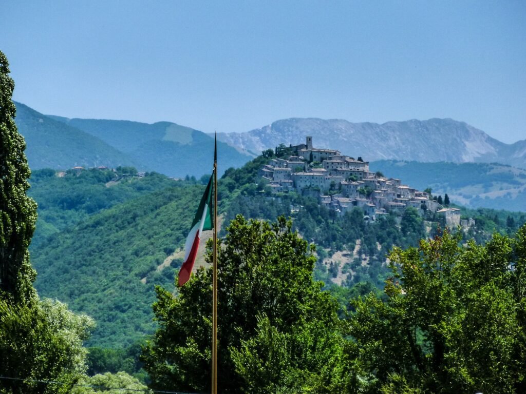 SummerLake swimming, floodlit evening releases at the falls and the Festa delle Acque.Photo: Diego Baglieri, CC BY-SA 4.0
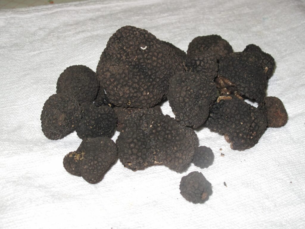 AutumnThe truffle year reopens, the new olive oil arrives and the trails go quiet.Photo: Rippitippi, public domain
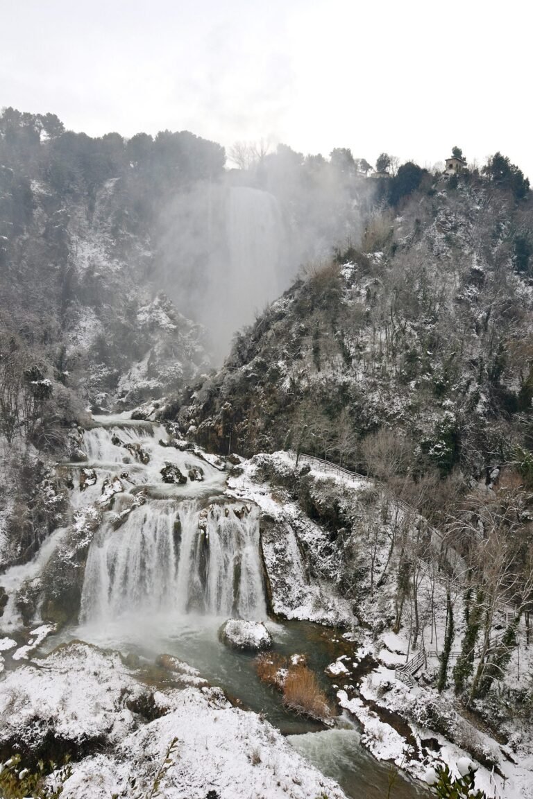 WinterChristmas releases at the falls, St Valentine in Terni and, some years, snow.Photo: Paolo Carnassale, CC BY-SA 3.0
Plan it properly
Getting here · What’s on · Quick answers
From the journal
- October in the Valnerina: two hours of water, and the truffle year opens
- The truffle year reopens — and the famous one is still two months away
- Every release window in 2026 – and the four months with no midweek water
Why trust this site
We live here. Every practical fact carries a checked date, every restaurant listing means we’ve eaten there, and the official Italian sources are linked on every page so you can verify us. The full promise: how we write.