
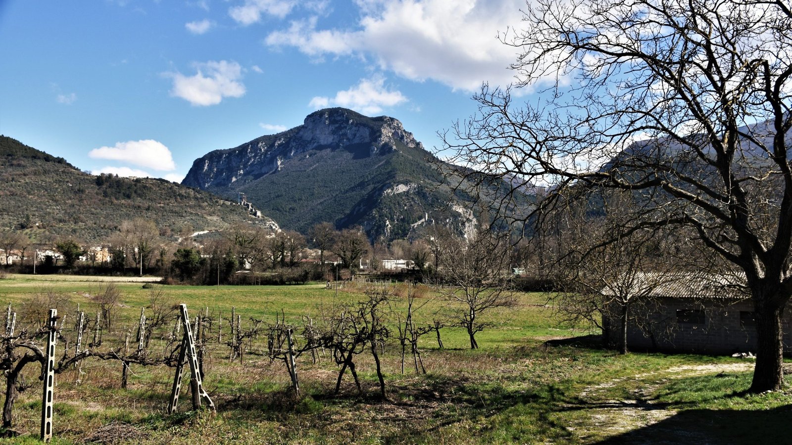
Hiking
Hiking here – the route library
The area around Marmore hides a serious amount of walking: the falls’ own trails, a hidden lake behind the mountain, the old Papal-border path above Polino, a pre-Roman temple hike above Cesi, upland picnic meadows, and the flat riverside Greenway. This is the library – with honest gradings and, where available, a GPX file.
Photo: Ulissevietato.9449, Wikimedia Commons, CC BY-SA 4.0
Facts checked: October 2026. These are the walks we actually do from home – not a scraped trail list – with honest gradings and, where available, a downloadable GPX.
The route library
Every route below is one we recommend in the country around the falls. The GPX column shows which have a downloadable track ready now; each route has its own page with the detail.
| Route | Type | Roughly | GPX |
|---|---|---|---|
| Marmore Falls trails | Waterfall paths, several loops | 1-3 hrs | Available |
| Greenway del Nera | Flat riverside path/cycleway (Terni–Marmore–Valnerina stretch, 28.2 km) | Section-by-section | Available |
| Monte Torre Maggiore | Archaeological mountain hike from Cesi | Half to full day, difficult | Coming soon |
| Salto del Cieco (Polino) | Easy mountain walk to the old border | ~1.5 hrs | Coming soon |
| Prati di Stroncone | Easy upland-meadow loops | 1-2 hrs | Coming soon |
| Lago di Ventina | Short, easy walk at a hidden lake | Half-day | Coming soon |
| Monte Caperno echo | Short lake-side curiosity walk | Under 1 hr | Coming soon |
Distances and timings shown as “roughly” are indicative – check current conditions and allow extra time on the longer mountain routes.
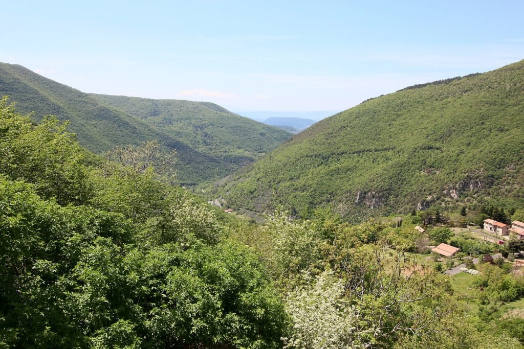
The highest point in Terni province, Monte La Pelosa, rises on the Polino side of these walks. From the summit, on a clear day, you can see across five regions to the Sibillini, the Laga and the Gran Sasso (Umbria Tourism).
Seasons and kit — honestly
Spring and autumn are the walking seasons here; high summer is for early starts and the shaded/riverside routes; winter opens crisp clear days but the high meadows can hold snow. Bring more water than you think (fountains aren’t guaranteed on the higher routes), proper footwear for the rocky paths, and a paper backup for the GPX – phone signal drops in the gorges. Waymarking is the Italian CAI red-and-white where present; we note on each page where it’s reliable and where it isn’t.
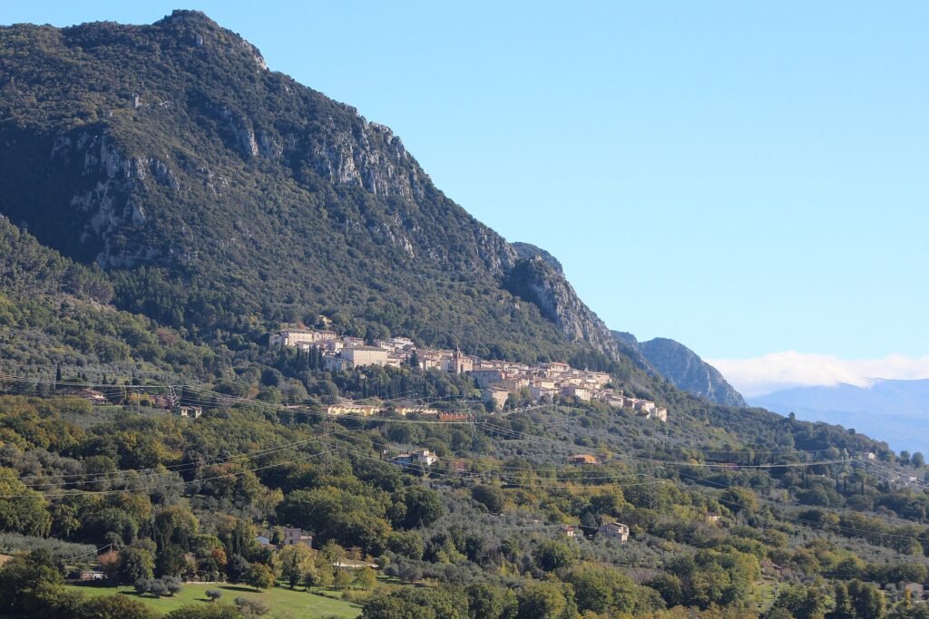
Two of these walks work without a car. Busitalia’s E616 runs Terni–Cesi for Monte Torre Maggiore, and the E624 runs Terni–Marmore–Piediluco–Colli sul Velino for the lake walks and Ventina (Busitalia).
Frequently asked questions
Are there good walks near Marmore Falls?
Yes – the falls’ own trail network, plus mountain and valley routes within 30 minutes: a temple hike above Cesi, the Papal-border walk from Polino, the Prati di Stroncone meadows, and the flat Greenway del Nera.
Do you provide GPX files?
Yes – downloadable GPX tracks are available for the main routes, with more added as we expand the library.