
The Valnerina
Facts checked: July 2026, against the regional tourism board’s official route sheet. We ride sections of this most weeks in season; distances and surfaces below follow the official route sheet.
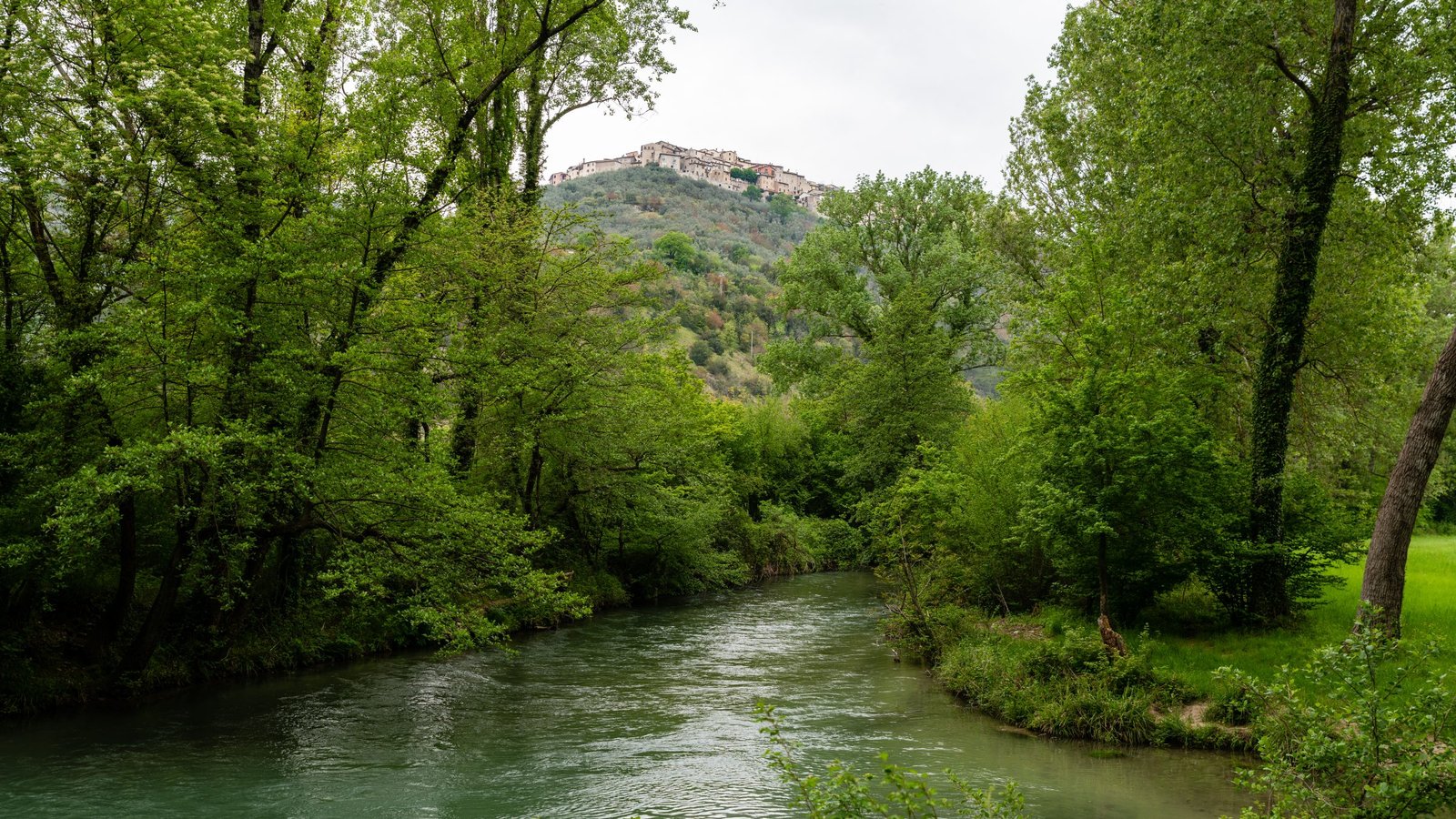
The best flat outdoor day in the valley is the river itself: the Nera River Cycle Route runs 28.2 km from Sant’Anatolia di Narco down to Marmore Falls, graded easy, mostly gravel and quiet lanes along the water – officially mapped, with GPX, roadbook and elevation profile free to download from the regional tourism board (the official route page). Downhill in our direction, note – the smart ride starts at the top.
The route in brief
| Detail | |
|---|---|
| Start / end | Sant’Anatolia di Narco → Cascata delle Marmore |
| Distance / grade | 28.2 km · easy · +90 m / −120 m (gently downhill overall) |
| Surface | ~60% gravel, 40% asphalt – hybrid, gravel or e-bike territory; fine for confident kids |
| Through | Scheggino → Ferentillo → Casteldilago → Arrone → the falls |
| GPX | Free on the official page |
The family section (if you only ride one stretch)
The lower valley – the falls to Ferentillo via Arrone and Casteldilago – is the flattest, prettiest stretch: riverbank embankments, quiet lanes, villages every few kilometres for gelato-and-water stops, herons for company. Out-and-back from the falls to Ferentillo and you’ve earned the Piermarini lunch; one-way with a pickup arranged and even young children manage it. Walkers use the same riverside paths – it’s a green corridor, not just a bike route.
Bikes and logistics
- Hire: bike and e-bike hire is available locally – ask us and we’ll arrange it for your dates.
- Combining with the icon: serious riders pair this with the Spoleto–Norcia rail trail over a weekend – two of central Italy’s best easy routes, 40 minutes apart.
- Water and sun: the gorge shades stretches, the open sections bake in July–August – morning rides in high summer.
Coming soon: ride from Terni to the falls
The missing link is being built: Lot 1 of the Terni–Cascata cycleway (Piazzale Staino to Ponte del Toro, 4.8 km, with a 55-metre footbridge over the Nera) has been under construction since April 2026, a roughly two-year build, with a final 600-metre phase to reach the falls themselves (the consortium’s announcement). When it opens, city-to-falls-to-valley becomes one continuous ride – we’ll update this page as it progresses.
Frequently asked questions
Is the Nera cycle route suitable for beginners?
Yes – it’s officially graded easy, gently downhill ridden north-to-south, on gravel and quiet lanes. The falls–Ferentillo stretch is the gentlest introduction.
Can you walk it instead?
The riverside sections, absolutely – locals treat the lower valley paths as a linear park. Pick a village-to-village stretch rather than attempting the full 28 km on foot.